Home
About us
News & insights
Join us
Contact
Brand development & digital execution
Medical communications
Digital patient solutions
Digital consultancy & training
Omnichannel strategy & planning
All services
Apps
Acumen engagement hub
AR-details
Chatbots
Agile training
All digital solutions
medac Academy education platform
Teva & You Augmented Reality experience
LiverSync® patient app
NRAS COVID-19 chatbot
Hopelink suicide prevention safety plan
All case studies
Read Article
How and why digital platforms work most effectively for medical education
Veeva's Partner Day: Key Insights for Pharmaceutical Companies
Top digital trends for 2023
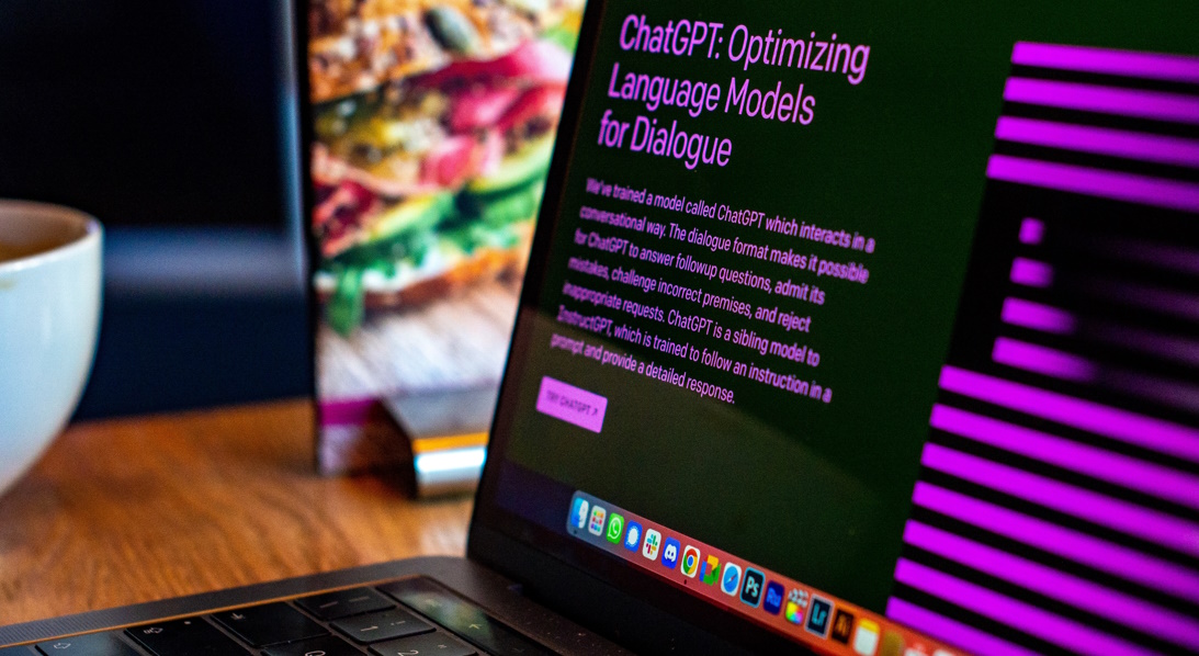
Teaching ChatGPT 4 the ABPI Code of Practice
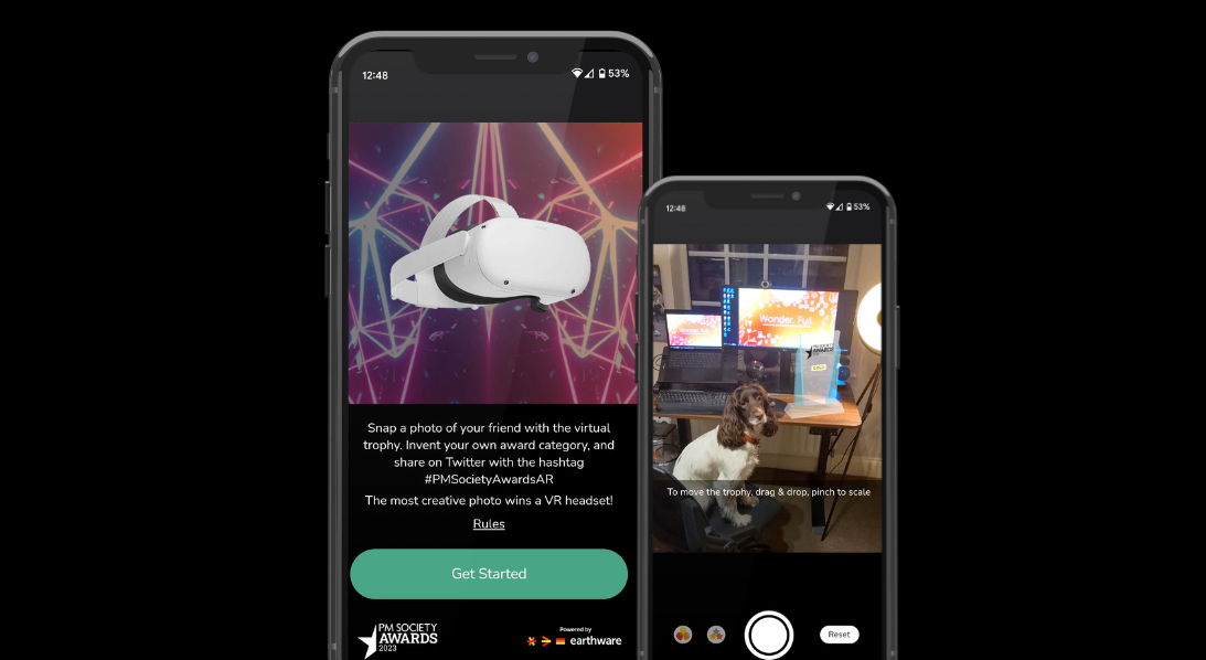
Step into Augmented Reality at the PM Society Awards
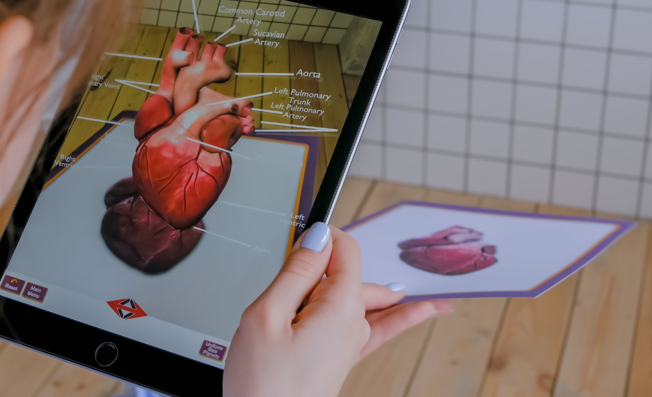
Understanding Augmented Reality and its possibilities